
Drone and Aerial Imaging Services
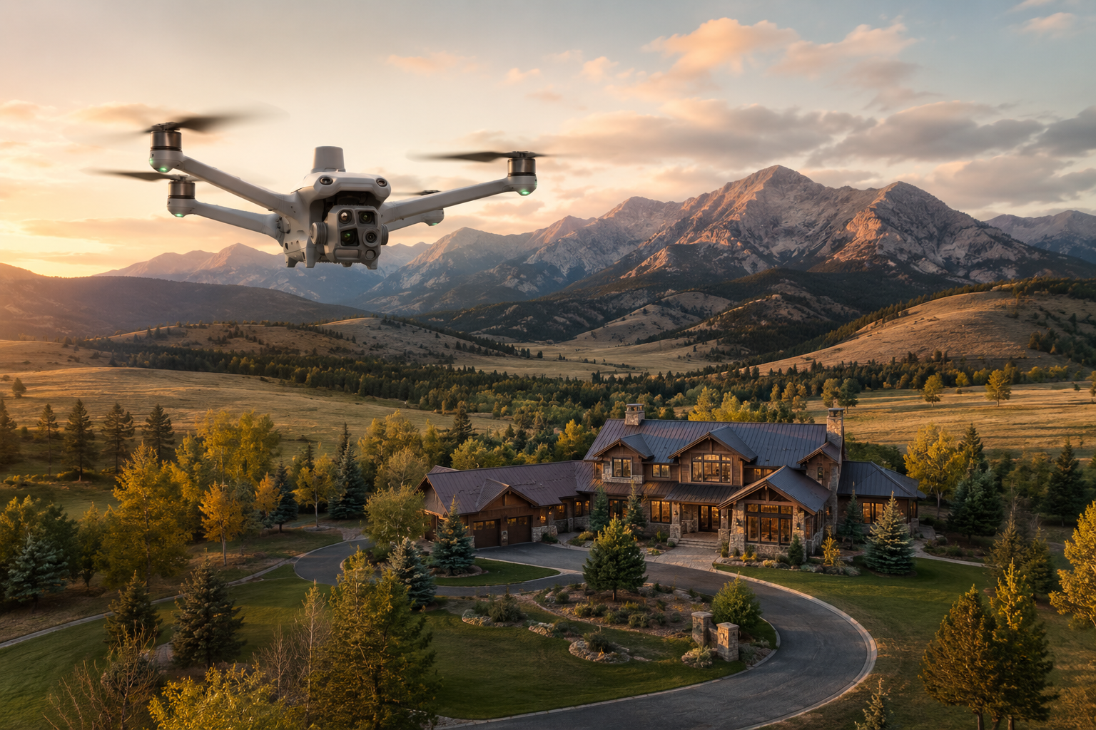
Real Estate / Land Photography
Professional aerial imagery helps buyers understand the full potential of a property before they ever step foot on it. Drone photography and video provide a perspective that traditional ground photography cannot capture, showing the layout, surroundings, access, views, and overall character of a property in a clear and engaging way.
Whether you are marketing a mountain home, luxury estate, vacant parcel, ranch, commercial property, or vacation rental, aerial imagery helps tell the full story. It can highlight acreage, terrain, driveways, nearby natural features, structures, open space, and the relationship between the property and the surrounding landscape.
Every flight is planned around your goals and the property’s strongest features while operating safely under FAA Part 107 regulations. Final images and video can be delivered in formats ready for MLS listings, websites, social media, printed marketing materials, and other promotional use.
Common Applications
Residential real estate listings
Vacant land and development parcels
Ranches and large-acreage properties
Luxury homes and mountain properties
Commercial real estate
Vacation rentals
Property marketing
Deliverables
High-resolution aerial photography
4K aerial video
Professionally edited images
Social media ready content
MLS-ready files
Secure digital delivery for all deliverables
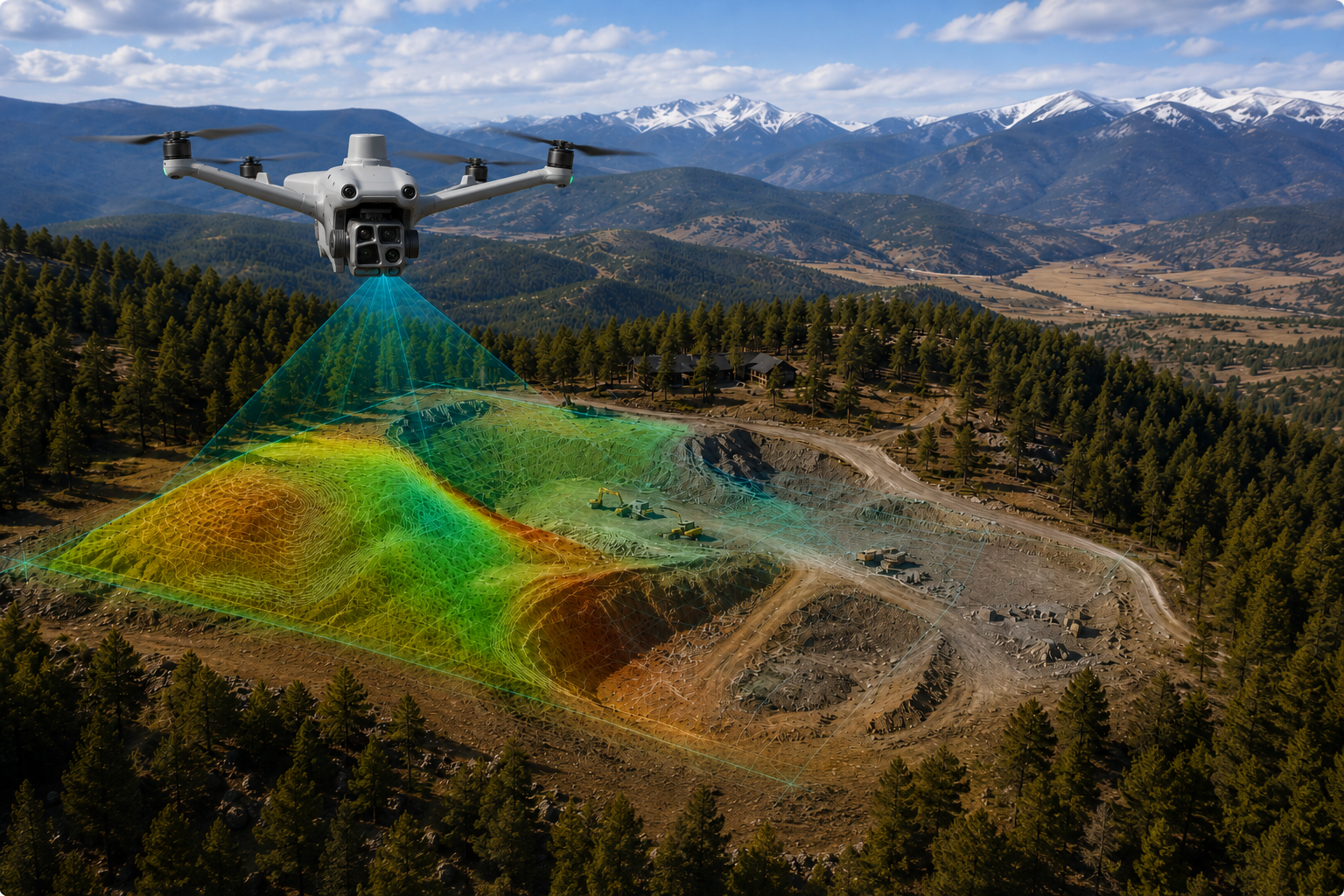
Drone Mapping & Topography
Drone mapping provides a detailed aerial view of a property, job site, or landscape that is difficult to understand from the ground alone. By capturing high-resolution overlapping images from above, mapping flights can be used to create orthomosaic maps, 3D models, and visual references that support planning, documentation, and progress tracking.
This service is especially useful for construction sites, land development, large properties, ranches, access roads, and areas with changing terrain. Whether you need a current record of site conditions, a visual reference for planning, or a way to track changes over time, aerial mapping gives you organized information that is easy to review and share.
Each mapping flight is planned around the size of the site, terrain, airspace, and project goals while operating safely under FAA Part 107 regulations. Deliverables are intended for visual documentation, planning support, and project communication, not as a replacement for licensed land surveying or engineering work.
Common Applications
Site documentation
Construction planning
Land development
Ranch and acreage mapping
Access road documentation
Progress tracking
Terrain visualization
Deliverables
Orthomosaic maps
High-resolution aerial imagery
3D terrain models
Geo-referenced image sets
Digital project files
Secure digital delivery for all deliverables
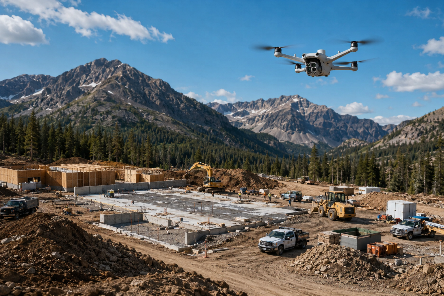
Construction Progress Monitoring
Construction sites change quickly, and aerial imagery provides a clear way to document progress from start to finish. Drone photography and video help capture the full scope of a job site, making it easier to track milestones, communicate updates, and maintain a visual record of the project over time.
This service is useful for contractors, developers, property owners, project managers, and stakeholders who need consistent site documentation without interrupting work on the ground. Aerial progress updates can show grading, foundation work, site access, material staging, vertical construction, surrounding conditions, and overall project movement in a way that ground photos often cannot.
Each flight is planned around the site layout, active work areas, airspace, and project goals while operating safely under FAA Part 107 regulations. Flights can be scheduled weekly, monthly, or around key project milestones depending on the level of documentation needed.
Common Applications
Commercial construction
Residential developments
Site progress documentation
Project milestone updates
Contractor and client reporting
Marketing and promotional content
Before and after documentation
Deliverables
High-resolution aerial photography
4K aerial video
Consistent progress imagery
Timeline documentation
Edited project visuals
Secure digital delivery for all deliverables
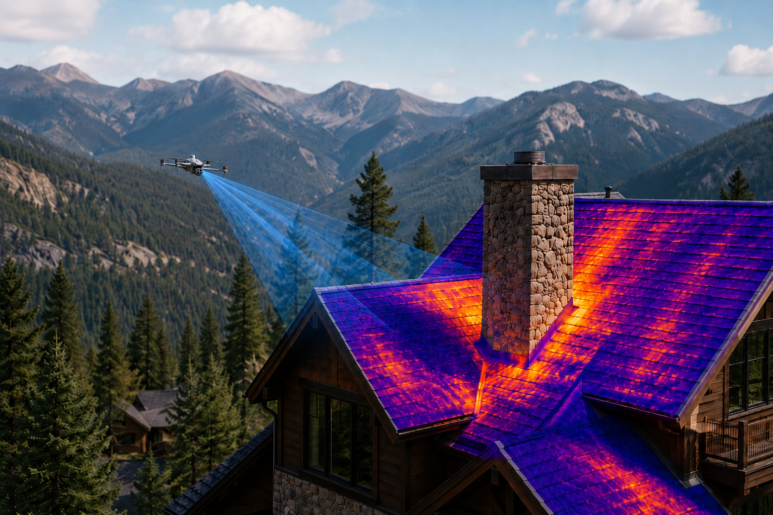
Aerial Inspections & Surveys
Aerial inspections provide a safer and more efficient way to document roofs, structures, hard-to-reach areas, and large properties without relying only on ladders, lifts, or ground access. Drone imagery can capture detailed visual information from multiple angles, helping clients review conditions, document concerns, and decide whether a closer inspection is needed.
This service is useful for property owners, contractors, inspectors, facility managers, and businesses that need clear visual documentation of a site or structure. Whether you need imagery of a roof, chimney, exterior building condition, access road, tower, steep terrain, or remote area, aerial inspections make it easier to gather useful information while reducing time on site.
Each flight is planned around the location, access limitations, airspace, and project goals while operating safely under FAA Part 107 regulations. Deliverables are intended for visual documentation, planning, and communication, not as a replacement for licensed engineering, structural, or land surveying services.
Common Applications
Roof and exterior documentation
Chimneys and elevated structures
Hard-to-access areas
Property condition documentation
Remote site reviews
Visual surveys of large areas
Pre-project planning
Deliverables
High-resolution aerial photography
4K aerial video
Close-up visual imagery
Organized image sets
Inspection reference photos
Secure digital delivery for all deliverables
Infrastructure & Asset Monitoring
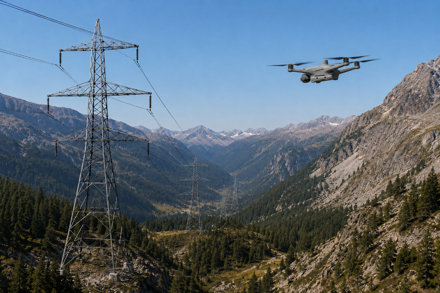
Infrastructure is often difficult, time-consuming, or unsafe to document from the ground. Drone imagery provides a practical way to capture visual information around towers, utility corridors, access roads, remote facilities, bridges, and other critical assets without requiring unnecessary foot traffic or equipment access in difficult terrain.
This service is useful for organizations that need consistent visual documentation of assets over time. Aerial imagery can help show changes in site conditions, vegetation growth, access limitations, storm impacts, surrounding terrain, and general asset condition from a clear overhead or side perspective.
Each flight is planned around the asset location, surrounding terrain, access needs, airspace, and project goals while operating safely under FAA Part 107 regulations. Deliverables are intended for visual documentation, planning, and communication, not as a replacement for licensed engineering, utility, or structural inspections.
Common Applications
Utility corridors
Remote facilities
Access roads and easements
Communications infrastructure
Bridges and elevated structures
Storm or weather documentation
Ongoing asset monitoring
Deliverables
High-resolution aerial photography
4K aerial video
Close-up visual imagery
Site overview imagery
Organized image sets
Secure digital delivery for all deliverables
Solar Panel Inspections
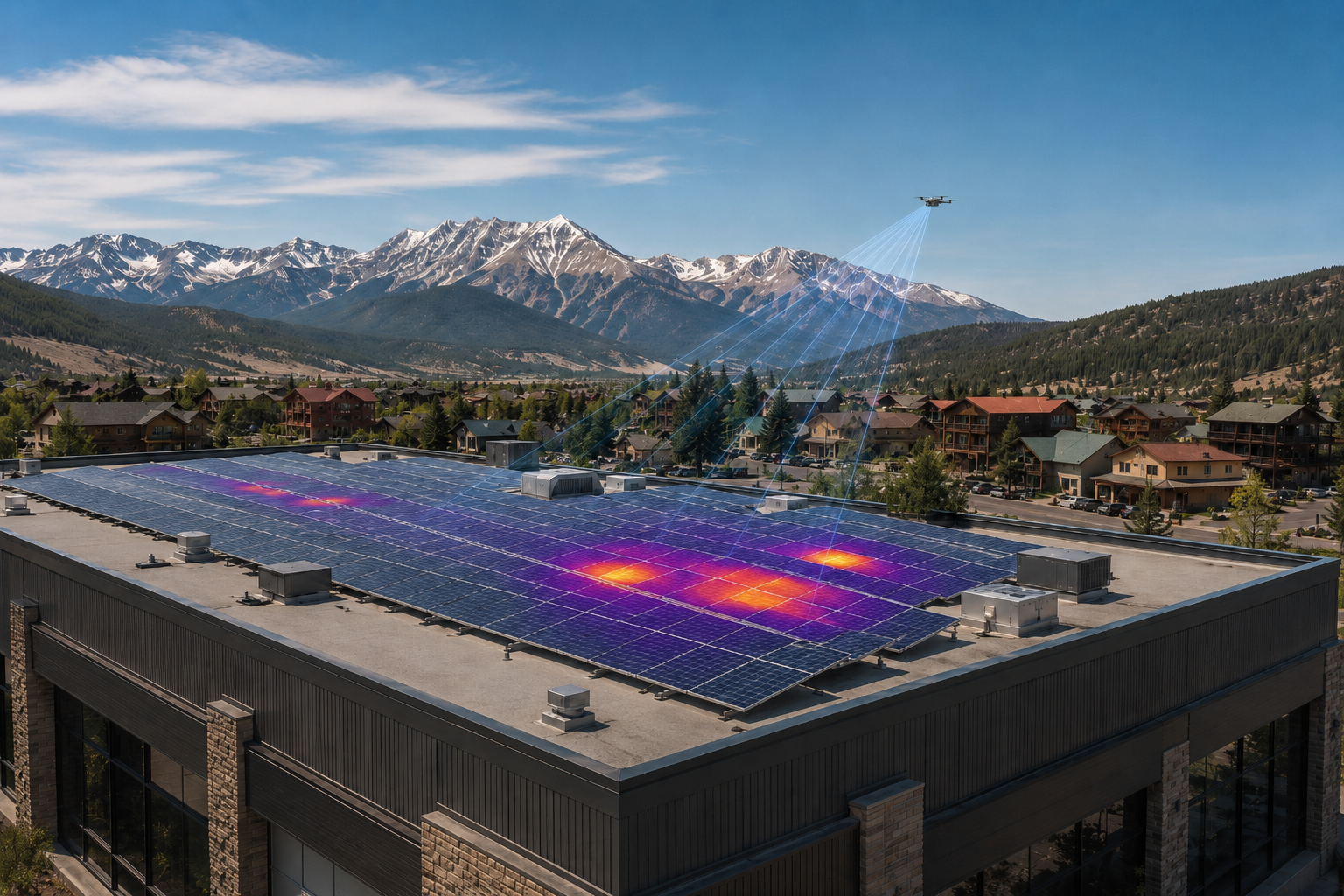
Solar arrays can be difficult to inspect efficiently from the ground, especially on rooftops, commercial buildings, remote properties, or larger installations. Drone-based visual and thermal imagery provides a faster way to document panel conditions, identify areas that may need closer review, and support routine maintenance planning.
Using the DJI Matrice 4TD, I can capture high-resolution visual imagery along with thermal imagery that may help reveal temperature differences across panels or related equipment. This can be useful for documenting potential hot spots, shading issues, storm impacts, debris, damaged panels, or other visible concerns that may affect performance.
Each flight is planned around the property, panel layout, roof access, airspace, and project goals while operating safely under FAA Part 107 regulations. Deliverables are intended for visual and thermal documentation to support maintenance conversations, not as a replacement for licensed electrical, solar, or engineering inspections.
Common Applications
Residential solar arrays
Commercial rooftop systems
Ground-mounted solar installations
Storm or hail documentation
Visual panel condition reviews
Thermal imagery for maintenance support
Routine solar asset documentation
Deliverables
High-resolution aerial photography
Thermal imagery
Visible-light reference images
Organized image sets
Inspection reference photos
Secure digital delivery for all deliverables
Search & Rescue / Public Safety
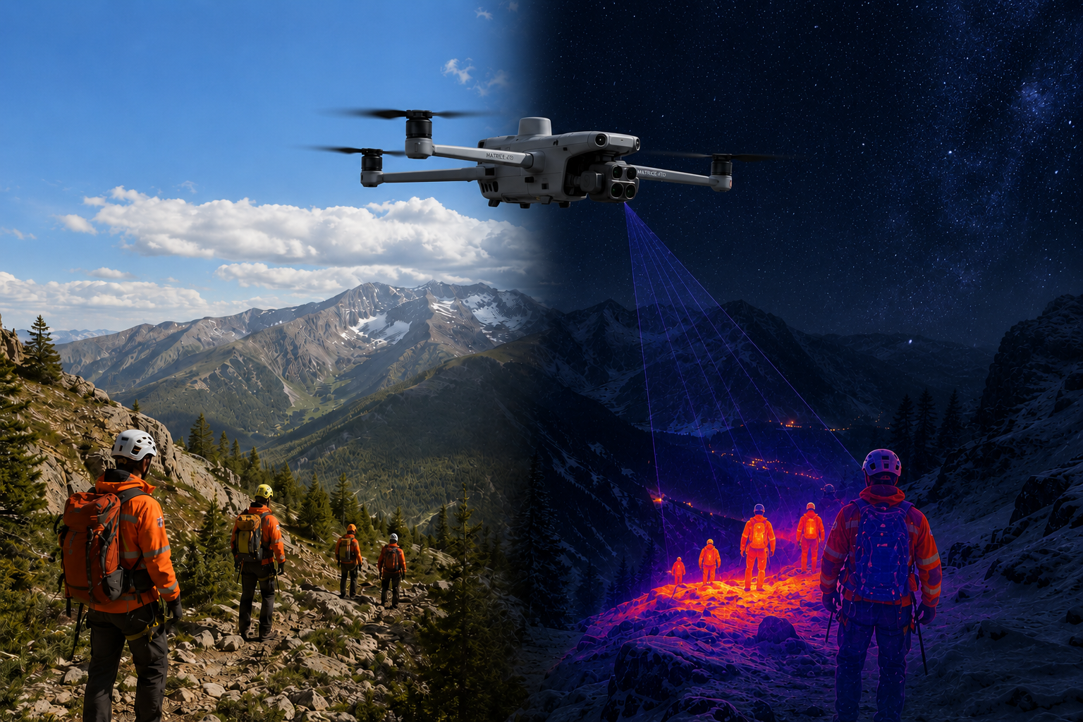
Drone imagery can provide valuable aerial support during search, response, and public safety related operations. From above, a drone can cover difficult terrain, provide a wider view of the surrounding area, and help teams document conditions that may be hard to assess from the ground.
This service is intended to support search and rescue teams, public agencies, land managers, event organizers, and other groups that may benefit from aerial situational awareness. Potential uses include terrain overview imagery, access route documentation, wildfire or storm impact documentation, event safety support, and visual information for planning or coordination.
Each flight is planned around safety, airspace, terrain, weather, and mission needs while operating under FAA Part 107 regulations. Search and rescue or public safety support is provided in coordination with the appropriate agencies or organizations and is not a replacement for trained emergency response personnel.
Common Applications
Search area overview imagery
Remote terrain documentation
Access route visibility
Storm or wildfire impact documentation
Public event support
Agency or team coordination support
Situational awareness imagery
Deliverables
High-resolution aerial photography
4K aerial video (live-streaming capable)
Terrain overview imagery
Location-specific visual documentation
Organized image sets
Secure digital delivery for all deliverables
Agriculture & Land Management
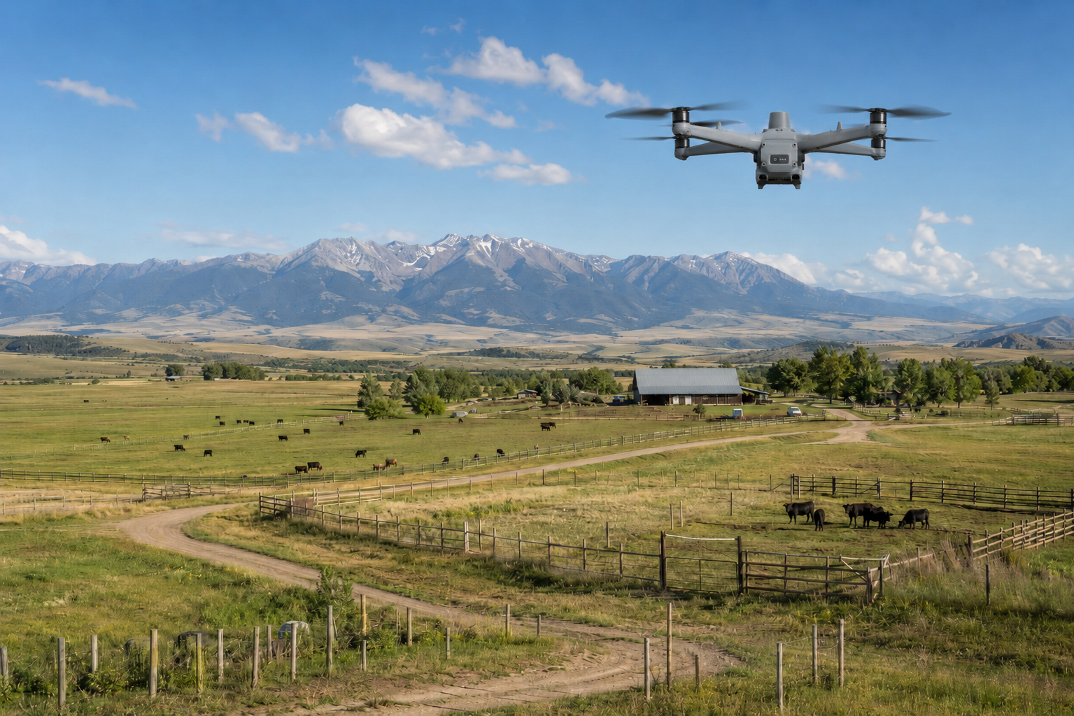
Large properties can be difficult to evaluate from the ground alone. Drone imagery provides a faster way to document fields, pastures, irrigation areas, access roads, fencing, terrain, livestock areas, and overall land conditions from above, giving property owners and managers a clearer view of how the land is being used and how conditions are changing over time.
This service is useful for ranches, farms, large-acreage properties, recreational land, and rural operations that need visual documentation for planning, maintenance, marketing, or day-to-day management. Aerial imagery can help document pasture conditions, monitor irrigation areas, review fence lines, assess access roads, and provide a clear record of seasonal changes across the property.
For ranchers, drone support can also assist with livestock visibility, cattle counts, pasture checks, and searching for missing or hard-to-locate cattle when terrain, weather, visibility, and animal behavior allow. With thermal imaging capabilities, the DJI Matrice 4TD can provide additional support in certain conditions, especially during cooler parts of the day when heat signatures may be easier to distinguish.
Each flight is planned around the property layout, terrain, livestock, structures, airspace, and project goals while operating safely under FAA Part 107 regulations. Deliverables are intended for visual documentation, planning support, and communication, not as a replacement for licensed agricultural, environmental, or surveying services.
Common Applications
Ranch and pasture documentation
Large-acreage property monitoring
Cattle counts and livestock visibility
Missing cattle search support
Field and irrigation overview imagery
Fence line and access road documentation
Seasonal land condition updates
Rural property planning
Deliverables
High-resolution aerial photography
4K aerial video
Property overview imagery
Thermal imagery when applicable
Organized image sets
Visual documentation of land conditions
Secure digital delivery for all deliverables
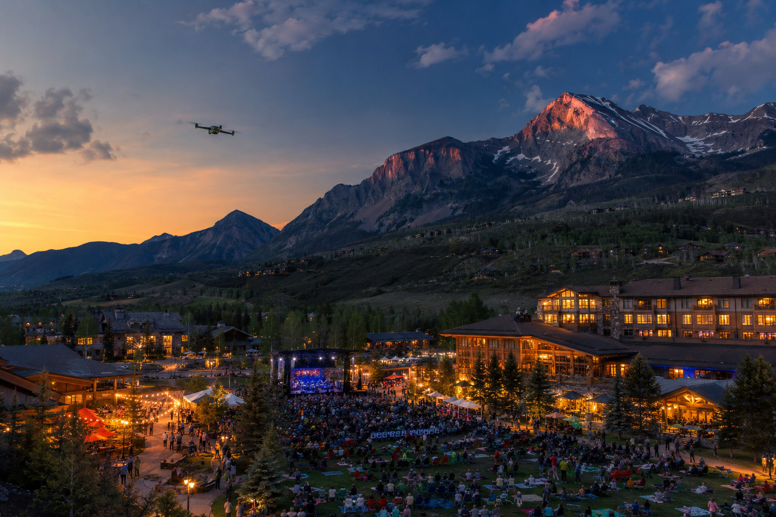
Additional Drone Services
Not every aerial imaging project fits neatly into a single category. Some jobs require a custom approach based on the location, access, subject, timeline, and intended use of the final imagery. Drone technology can be adapted to support marketing, documentation, planning, property management, live viewing, and visual storytelling across a wide range of project types.
This may include event and promotional imagery, tourism or hospitality content, remote property documentation, seasonal property updates, 3D modeling support, insurance-related photo documentation, live streaming, or custom aerial photography and video. If you have an idea but are not sure whether drone imagery is the right fit, I can help review the goals, location, airspace, connectivity, and deliverables to determine a practical approach.
Each project is planned around safety, site conditions, FAA Part 107 requirements, and the intended use of the final imagery. Based in Colorado, I regularly work throughout the state and am available to travel for select projects outside the area. Any travel-related costs will be discussed upfront as part of the quote.
Common Applications
Event and promotional imagery
Tourism and hospitality content
Live streaming for remote viewing
3D modeling support
Remote property documentation
Seasonal property updates
Insurance-related photo documentation
Custom aerial imaging projects
Deliverables
High-resolution aerial photography
4K aerial video
Live video feed when available
Project-specific image sets
3D model files when applicable
Edited marketing visuals
Secure digital delivery for all deliverables
Ready to plan a flight?
Frequently Asked Questions
-
Yes. I am an FAA Part 107 certified remote pilot. All commercial drone flights are planned around safety, airspace requirements, weather, site conditions, and FAA operating rules.
-
Yes. Rockies Aerial Imaging & Design carries insurance for commercial drone operations. Proof of insurance can be provided upon request, and project-specific coverage requirements can be discussed before the flight.
-
I am based in Colorado and regularly provide aerial imaging services throughout the state. I am also available to travel for select projects outside of Colorado. Travel-related costs, if applicable, will be discussed upfront as part of the quote.
-
I currently fly a DJI Matrice 4TD, a professional enterprise drone with high-resolution imaging, 4K video, zoom capabilities, thermal imaging, laser rangefinding, low-light support, and mapping-friendly capture options.
-
The DJI Matrice 4TD supports high-resolution photography, 4K video, hybrid zoom imaging, thermal imaging, laser rangefinding, low-light operation, NIR auxiliary lighting, obstacle sensing, mapping-friendly image capture, and live video viewing when project conditions allow.
-
Laser rangefinding can help estimate the distance to a target, object, structure, or point of interest during certain missions. This can be useful for inspections, search support, public safety coordination, asset documentation, and situations where distance awareness helps with planning or communication. It is not a replacement for licensed surveying, engineering, or legal measurement work.
-
Yes. The DJI Matrice 4TD has zoom capabilities that allow certain subjects to be documented from farther away when conditions allow. This can be helpful for roofs, towers, utility infrastructure, livestock, access roads, terrain, and other areas where getting close may be unsafe, disruptive, or impractical.
-
Yes. The DJI Matrice 4TD has thermal imaging capabilities that can support roof reviews, solar panel inspections, infrastructure documentation, ranch and livestock visibility, search support, and other use cases where temperature differences may be useful. Thermal deliverables are intended for documentation and review, not as a replacement for licensed trade inspections.
-
Thermal imaging can reveal temperature differences that may point to areas worth reviewing more closely, such as roof heat loss, solar panel hot spots, livestock visibility, or unusual heat signatures. It is best used as documentation and decision support, not as a replacement for licensed roofing, electrical, solar, agricultural, or engineering evaluations.
-
Yes, when the operation can be conducted safely and legally. The DJI Matrice 4TD supports low-light imaging, thermal imaging, and auxiliary lighting capabilities that may be useful for certain evening, night, public safety, ranch, or inspection-related projects. Night operations are planned carefully around visibility, safety, airspace, and FAA requirements.
-
The DJI Matrice 4TD is built to operate in some adverse weather conditions, but every flight still has to meet FAA Part 107 requirements and be safe for the location, airspace, visibility, wind, precipitation, temperature, and project goals. If conditions fall outside safe or legal operating limits, the flight will be rescheduled.
-
The DJI Matrice 4TD is rated for up to 54 minutes of flight time under ideal conditions, and I currently carry four batteries for extended field operations. Actual flight time depends on weather, altitude, temperature, flight style, accessories, battery condition, and mission requirements. Each project is planned with safe battery margins, return-to-home considerations, and enough battery capacity to complete the work safely.
-
In many cases, yes, but controlled airspace may require FAA authorization before the flight can take place. If your project is near an airport or restricted area, I will review the location during planning and let you know what is possible.
-
Live video feeds may be available depending on the project, location, connectivity, platform requirements, and safety considerations. This can be useful for remote viewing, project updates, event support, and certain public safety or coordination needs.
-
I provide aerial mapping, orthomosaic imagery, 3D models, and visual documentation to support planning, communication, and project records. These services are not a replacement for licensed land surveying, engineering, or legal boundary work.
-
Delivery depends on the size and scope of the project. For simple photo or video work, raw files may be available quickly, with edited photos or video typically delivered after processing. Larger projects such as mapping, 3D models, or thermal documentation may require additional time.
-
The most helpful information is the project location, the type of imagery or deliverables you need, the intended use of the files, any timing requirements, and any known site access details. From there, I can review the project and recommend the best approach.